hosrydyye.jpeg

The very first horse trail park in Allen County was officially opened on May 16, 2024. The Allen County Equestrian Course is open to the public and boasts over 9 miles of equestrian trails that provide a number of different experiences including wooded trails, open field trails, an ADA compliant trail, various terrains, and even trails with obstacles to enhance and challenge ridership skills.

The horse trails are brought to you by Three Rivers Horse Trails, Inc., Allen County and the Indiana DNR.

Like the  Three Rivers Horse Trails Inc Facebook link to stay current on news and information!

1716477480316-e0c96904-2199-48db-bcd2-390160af4275_1.jpg

Click here to learn more about the new horse trails!

grouphorse.jpeg

20240209_121740.jpg


pic 2sm

Trail Maps
Looking to explore the Fort Wayne Area Trails Network? Use the maps below to learn more!

Click here for a map of the currently existing trail system.  


Map of Franke Park Trails: 

Do you like mountain biking on single track or trail running/walking on challenging dirt paths?  Explore the trails at Franke Park!  There are approximately 10 miles of single track trails to explore. 

Map of Franke Park MTB and Hiking Trails   Check back soon for an updated mountain bike map!|


Trail Mileage

Check out information on mileage of different trail loops: Park Trails Distance Chart  

Indian Trails Park Loop: 1.25 miles  (Trail owned/maintained by the Aboite Township Trustee's Office, 260.432.0970) 


Fort Wayne Area Trail Links


About the Rivergreenway

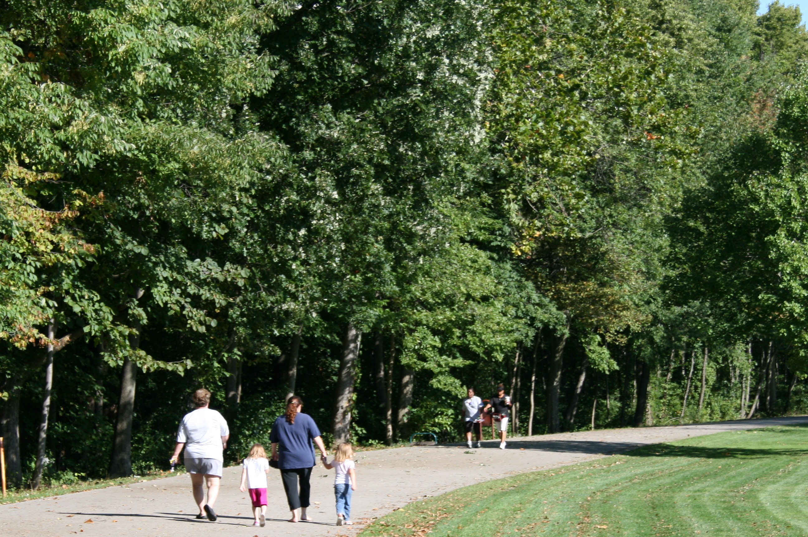
St Marys Foster Walkers Family, Foster Park, Rivergreenway, Fort Wayne Trails

The Rivergreenway Trail is a 26-mile linear park in Fort Wayne and New Haven, Indiana. The system runs along the banks of the St. Marys, St. Joseph and Maumee Rivers. Much of the Rivergreenway has been funded by the State of Indiana and the federal Land and Water Conservation Fund. The Rivergreenway provides a great opportunity for recreation, fitness and conservation, as well as providing an alternative transportation network safely connecting the community.

A linear park such as the Rivergreenway system is a long, narrow park with limited access that is ideal for activities such as bicycling, hiking, nature study, jogging, rollerblading or just going for a leisurely walk. The Rivergreenway offers natural vistas and scenic overlooks within an urban environment. It creates a synergism between country and urban settings that affords users the opportunity to enjoy the best of both. Additionally, it creates a natural overflow against the invasion of high water which helps mitigate the ravages of flooding.

The Rivergreenway is owned and maintained by the Fort Wayne Parks and Recreation Department, the City of Fort Wayne Public Works Department, and the New Haven/Adams Township Parks & Recreation Department.

The Rivergreenway is open from 6 am -11 pm daily for your enjoyment.

If there are comments, questions, or concerns about any section of the Rivergreenway, please contact the Greenways Manager at (260) 427-6002.
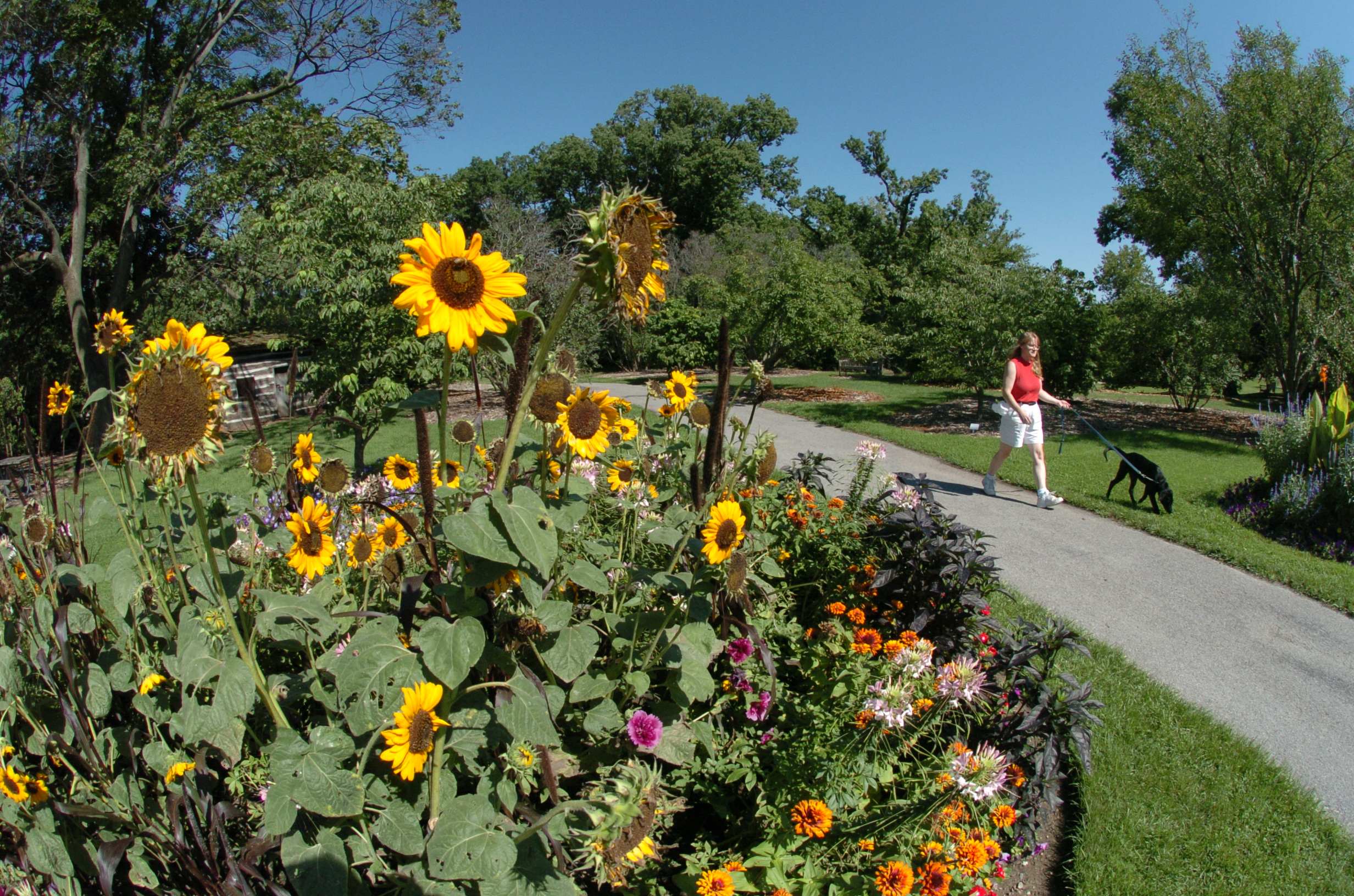
St Marys Foster Park Flowers Dog Walker, Rivergreenway, Fort Wayne Trails

Do you have a praise, problem or concern you would like to share? Please take the time to complete the Talk to Us form.

The Rivergreenway Trails Network has been recognized as a National Recreation Trail! To view information about the Rivergreenway on the National Recreation Trails site, click here.

The City of Fort Wayne is proud to have been names a Runner-Friendly Community by the Road-Runners Club of America. Learn more here


Only people-powered vehicles are allowed on the trails, including bicycles, skateboards, scooters, etc. Learn more by reading the Motor Vehicles Ordinance.

Be sure to check out the News/Events page for information on upcoming events!

If you would like up to date information on trail closures, bookmark the Trail Closure page !


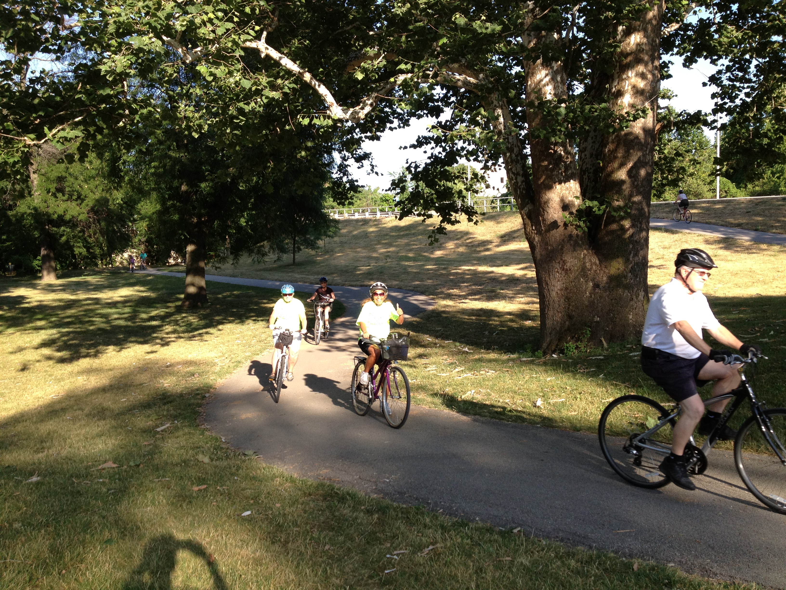
St Marys Swinney T3, Trek the Trails, Rivergreenway, Fort Wayne Trails

TRAIL BROCHURE AND MAPS!

Learn more about planned trails! Check out the current Fort Wayne Regional Trails Map, along with the General Parks Map.

Now available is a Listing of Parks Facilities along the Rivergreenway (both restrooms and drinking fountains) that are located along or near the Rivergreenway. In addition to the list, there is a Rivergreenway Facilities Map that depicts the general locations of each facility along the Rivergreenway. Please note that the Fort Wayne Parks restrooms and drinking fountains are open for use from May through the end of October.

Available for your use is a listing of mile marker locations. Click on Mile Marker Locations to see where they are located and how you can utilize this information for your next walk or run.


Rivergreenway Shadows BW


Memorial Tree & Bench Program Information
Add to the beauty of your favorite section of the Rivergreenway (in the Fort Wayne City Limits) and honor a loved one simultaneously with the help of our tree or bench donation program.

For more information, check out Memorial Tree & Bench Program.

Contact Information

Fort Wayne Parks & Recreation Department
705 E. State Blvd., Fort Wayne, Indiana 46805

Telephone number: (260) 427-6002
Fax: (260) 427-1269
E-mail:This email address is being protected from spambots. You need JavaScript enabled to view it.


 Photo of Rivergreenway Detour Sign 

Updated: January 28, 2025 at 7:00 AM

If you encounter any downed trees or safety concerns, please call or email the Greenways Dept at (260)427-6228 or This email address is being protected from spambots. You need JavaScript enabled to view it. .  

Please be aware, during or following a rainfall, portions of the trail network may be muddy and/or slippery. Please slow down and use caution, especially on boardwalks.  Always use caution whenever you encounter a wet section of trail.  During the winter months, be mindful of the potential for ice. In the instance of accumulating snowfall, trails are cleared when 3 or more inches are recorded. 

Trail Closures and Detours:

Rivergreenway Detour - The trail will be closed at Brooklyn Avenue with the detour beginning at the crosswalk of Brooklyn and Bluffton Rd. Trail users will use the sidewalk on the north side of Bluffton road to Broadway. At Broadway use the crosswalk to Oakdale and then use another crosswalk to head south on Broadway. Use the sidewalk on the east side of Broadway south to Rudisill. Here you can use the crosswalk to enter Foster Park. Phase 1 is expected to last through August of 2025. Please obey pedestrian signs and signals.

Detour 1 16 25


Landin Road Trail: The trail is closed between Parent Road and Shordon Road for the development of an apartment complex. 


 Rivergreenway Closures near Downtown Fort Wayne:

  • Riverfront Development (Phase 2) has caused the closure of the St.Marys Pathway between Clinton and Harrison Streets, with a further closure between the Historic Wells Street Bridge and Ewing St. occurring in the near future. This will be in effect through 2025.
      
  • The pedestrian bridge just South of Lawton Park is closed for reconstruction. A posted detour is in place. This closure will be in effect until late Spring 2025. While this bridge is part of the St.Marys Pathway, its location is important to the connection of all Rivergreenway Pathways, meaning that many Rivergreenway trail users may be impacted. We apologize for the inconvenience.

  • The above closures/detours can be seen on this map

Maplecrest Rd Trail: Construction near Georgetown has disabled pedestrian push buttons at E State Blvd and Maplecrest Rd. Trails users can cross E State Blvd with traffic and are advised to use caution.  

Foster Park Area: 

  • A Utilities project has started that affects the trail near Hartman Road. Hartman road has turned into a temporary one-way to allow for pedestrians to use the southbound lane freely


For specific questions about closures, please e-mail This email address is being protected from spambots. You need JavaScript enabled to view it. or call 427-6228. 


Technical challenges have caused the disconnection of this site to present flood gauges. Those interested in seeing current river levels can visit https://water.weather.gov/ahps2/hydrograph.php?wfo=iwx&prob_type=stage&gage=ftwi3


Safe Trails are Happy Trails.

Mid-Block Crossings can be confusing for everyone.  Who has the right of way? When should cars stop? When can pedestrians cross?

Watch this video to learn more about the proper way to navigate crossing in the middle of a street, rather than at an intersection! 

When traveling on city streets, bicycles have the same duties and rights as motorists.  Know and practice the rules of the road.  


Who is using the Trails?

Infrared counters are positioned throughout the Fort Wayne Regional Trails Network to help staff understand how residents are using the trail system. Find out how many trail users we counted in 2023, plus learn more about which trails were used the most frequently!

2023 Trail Counts


Please note: Some trail counts contain averages due to temporary counter failures. 


St Marys MLKbridge Bikes, Rivergreenway, Fort Wayne TrailsPufferbelly Trail Bikes T3, Trek the Trails, Salomon Farm Loop, Pufferbelly Trail, Fort Wayne Trails

How are the Trails growing?

Learn more about current projects involving trails within the Greater Fort Wayne area PROGRESS STATUS REPORT DECEMBER 2024   2024 PROGRESS STATUS MAP


Want to help the trails expand even more? Do so while you drive! 

  GF License Plate


Support Trails with a Trails License Plate!

Consider a purchase of this Trails Plate to show your support for all types of trails in Indiana. The foundation will use the proceeds as grants to trail groups throughout the state of Indiana. This special plate is an additional $40, of which $25 goes to the Greenways Foundation. The Greenways Foundation envisions a statewide trail, greenway, and bikeway system that provides access to trails for all Indiana citizens. This world-class Hoosier greenways system connects scenic, cultural, historic, recreational, tourist, and economic sites in Indiana’s urban and rural communities, is convenient to people of all cultures, ages, and abilities, and is one of the state’s most powerful tools in achieving economic growth, a healthy citizenry and livable communities.

It’s simple to purchase the plate! Online, simply visit www.mybmv.com and navigate to the special license plates.  You also can go in person to your local license branch or order through the mail. New this year: all license plates are now mailed to you.  You can get a tax break when buying this license plate that advocates for a charitable cause. You can deduct this fee on Schedule A of your taxes.

St Marys Old Fort FWPD T3, Trek the Trails, Bike Patrol, Rivergreenway, Fort Wayne Trails
The Rivergreenway is open from 6 am -11 pm daily for your enjoyment. For additional information about any trail events or general inquiries, please e-mail: This email address is being protected from spambots. You need JavaScript enabled to view it..  


RFW Logo Hori RGB 01

ENGAGE FORT WAYNE

IMAP.NEW

NOW AVAILABLE!  Search for parks, trails, activities and more.

We want your feedback!

new_blue_64x64Take our on-line survey now!
This quick and easy survey will only take 1 minute or less and will provide us with valuable information!

Translate Content

enfrderues